A subdivison survey is as survey used for dividing an existing parcel of land into smaller parcels, or for consolidating multiple parcels of land into a single parcel. Standards for subdivision and consolidation vary on a county-by-county basis, but generally, records are researched and there is a field visit to locate existing boundary evidence. A map showing the results of the field survey and proposed boundary lines is submitted to various agencies for review and approval. After approval, the new boundary lines are accepted, the map is recorded and made available to the public as a plat, and new monuments are set at boundary corners as needed.
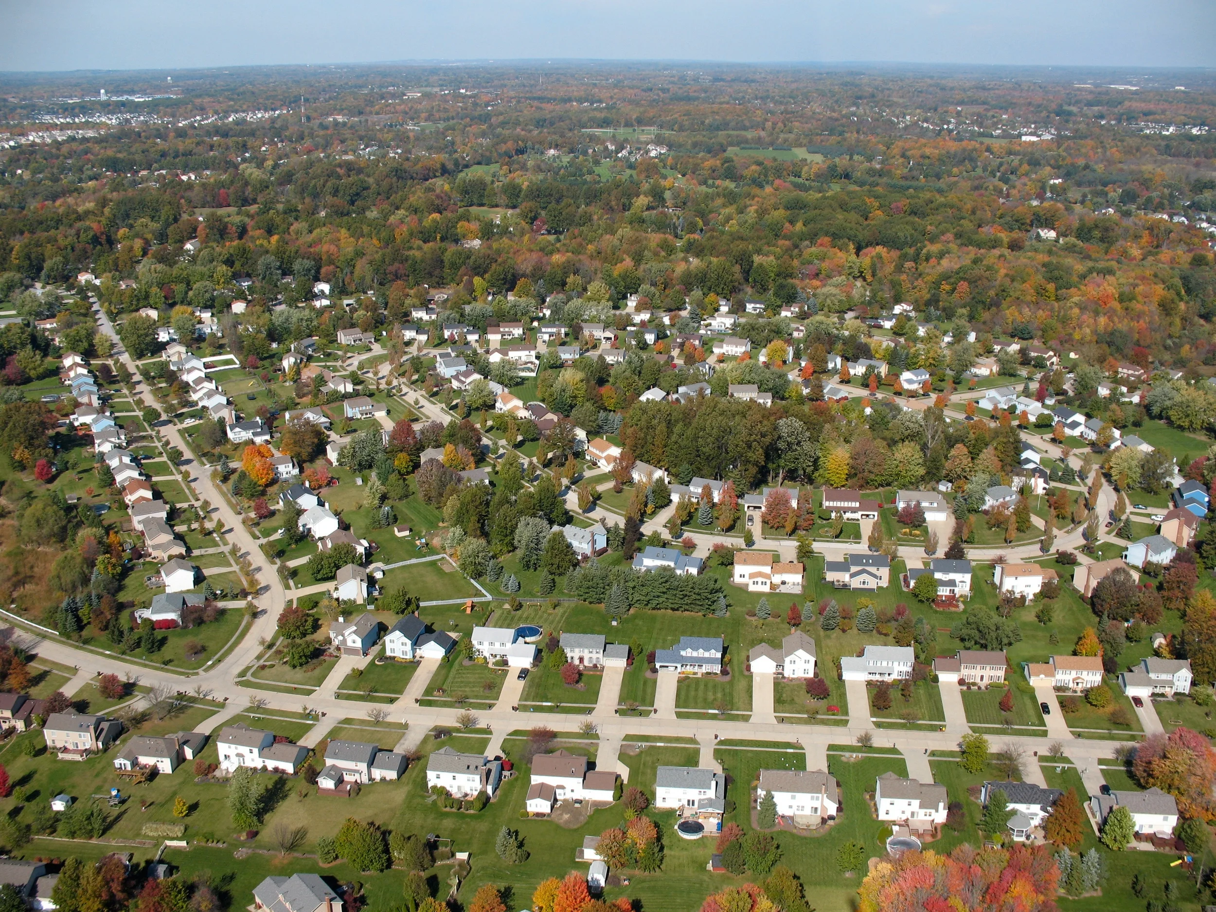
A subdivision can be as simple as splitting an existing parcel into two (what is generally known as a "lot split"), or as complex as subdividing a large parcel into a residential subdivision or an industrial park.