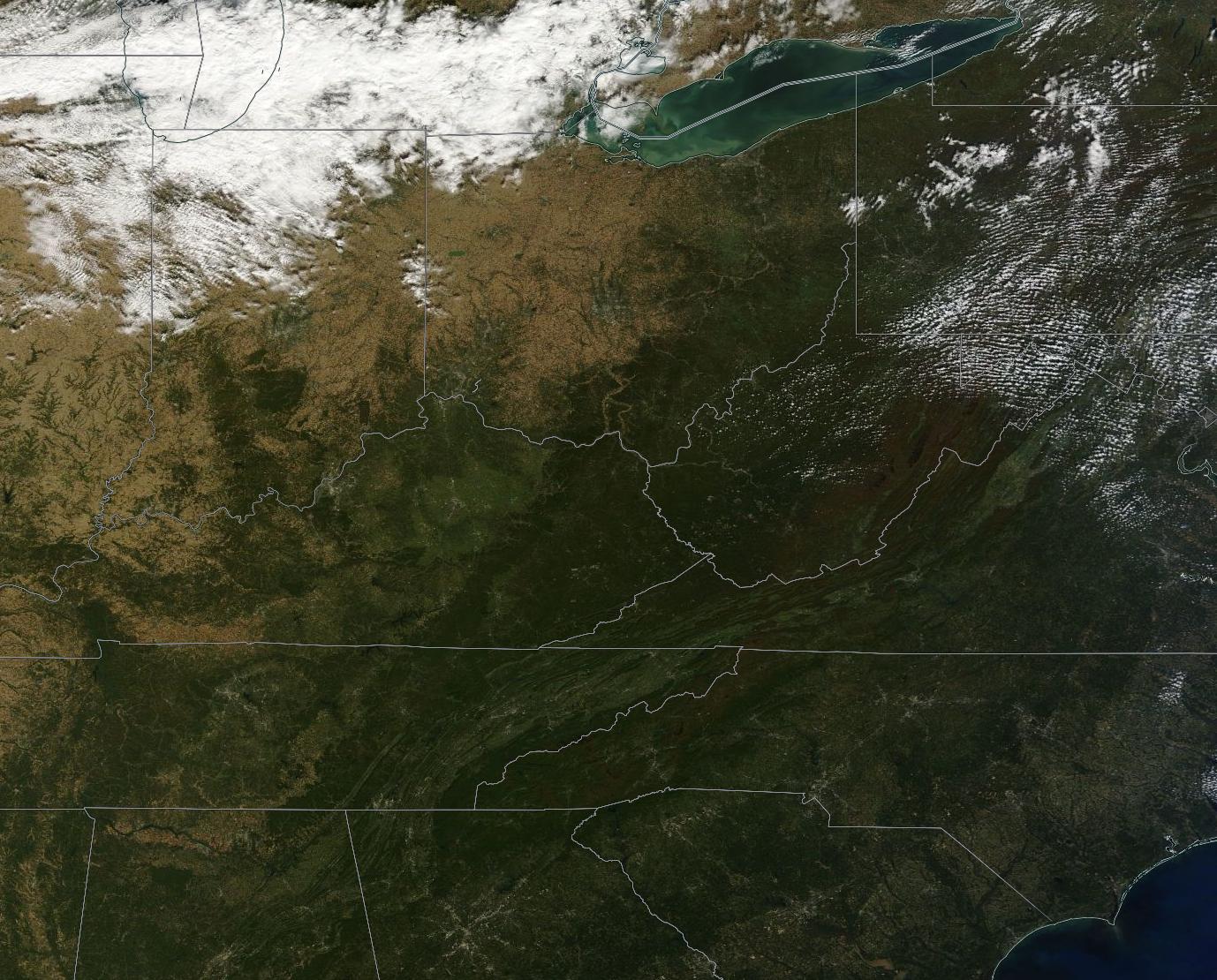
October 11 and 12 were clear days across most of the Great Lakes and Northeast, and the NASA Earth Observatory has highlighted some satellite imagery from those days showing the fall color change:
Fall Color Arrives in the U.S. and Canada
The images come from the MODIS instrument on board the Terra and Aqua satellites. Terra and Aqua are in sun-synchronous orbits and together they image every location on Earth at least once every two days.
MODIS captures over 36 spectral bands and has many scientific applications, but the reason I like MODIS imagery is that it provides a low-resolution, visible spectrum image of any location and updates very often. This means you can see what any particular spot on Earth would look like from orbit with your own eyes, every couple of days.
The NASA EOSDIS Worldview page lets you view Terra and Aqua MODIS imagery in very nearly real-time. It even lets you export geo-referenced imagery, like this one I saved of the Terra imagery from today: