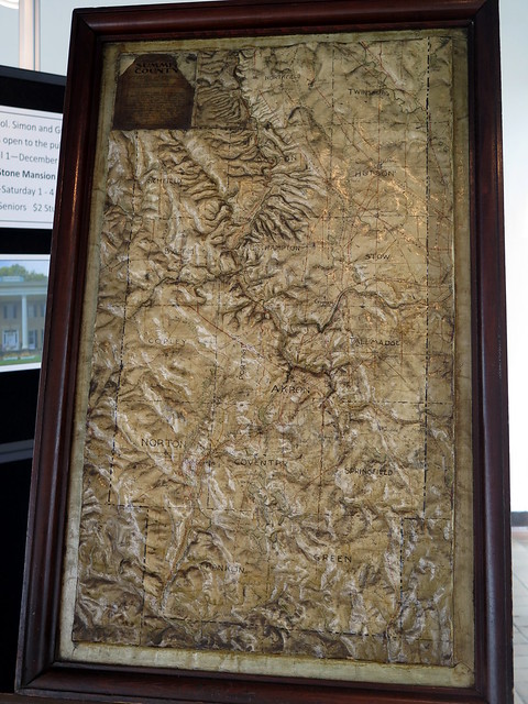
I was doing some plat research at the Summit County Courthouse this week, when I noticed this really interesting Summit County Relief Map on display
You really need to view the full image to fully appreciate it. It's a map of Summit County, but with actual relief instead of contours. The Cuyahoga River valley is obviously very prominent.
I'm not sure when it was made - I didn't see a date anywhere on the model, and I didn't see an explanatory sign anywhere. I would guess it's from sometime between 1880 and 1910. It was hard to get a really good photo because it's behind glass; it appears to be a temporary display by the Summit County Historical Society. I think I should make a trip over there sometime to see if I can get a better look at it!


